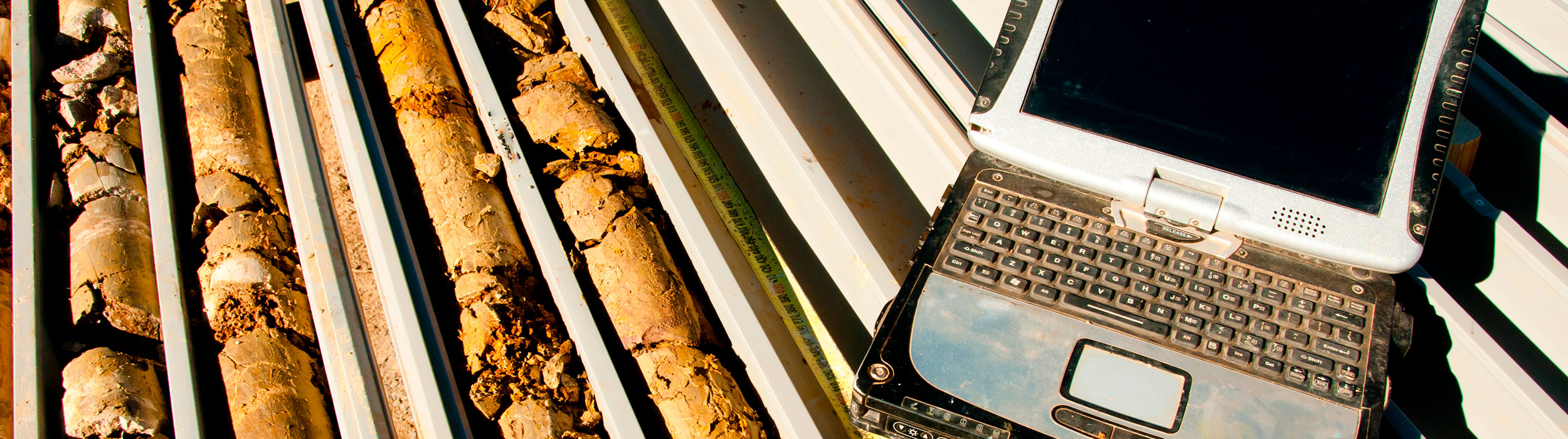

Within the mining development, it is important to know the geological and geotechnical behavior of the rock mass, through the recovery of cores. GeoBlast has implemented a methodology for the capture of information from drill holes, consisting of:
Geological and Geotechnical Mapping
GEOLOGY AND GEOTECHNICS
With mapping information, a geological and structural model is constructed, which is subject to hydrogeology. The rock mass is characterized and geotechnical units are defined, which are represented by resistance curves. The proposed pit designs are evaluated in terms of slope stability.

Geological 3D structural model
Geological – Hydrogeological Mapping
Geological – Hydrogeological Mapping
Lithology Alteration Hydrothermal Mineralization
Major and Minor Fault Diaclases Fault Zone
3D Geological Model
3D Structural Model